1
2
3
4
5
6
7
8
9
10
11
12
13
14
15
16
17
18
19
20
21
22
23
24
25
26
27
28
29
30
31
32
33
34
35
36
37
38
39
40
41
42
43
44
45
46
47
48
49
50
51
52
53
54
55
56
57
58
59
60
61
62
63
64
65
66
67
68
69
70
71
72
73
74
75
76
77
78
79
80
81
82
83
84
85
86
87
88
89
90
91
92
93
94
95
96
97
98
99
100
101
102
103
104
105
106
107
108
109
110
111
112
113
114
115
116
117
118
119
120
121
122
123
124
125
126
127
128
129
130
131
|
<template>
<div>
<div id="map">
</div>
</div>
</template>
<script>
import Map from 'ol/Map';
import View from 'ol/View';
import XYZ from 'ol/source/XYZ';
import { Tile as TileLayer } from 'ol/layer';
import { fromLonLat, transform } from "ol/proj";
import { Point, LineString } from "ol/geom";
import { Feature } from "ol";
import { Style, Icon ,Stroke} from "ol/style";
import VectorLayer from "ol/layer/Vector";
import { Vector as VectorSource } from "ol/source";
import { lineString } from '@turf/turf';
export default {
name: 'HelloWorld',
data() {
return {
map: null,
}
},
mounted() {
this.init();
},
methods: {
init() {
let baseLayer = new TileLayer({
visible: true,
name: "电子图",
source: new XYZ({
url: 'https://wprd0{1-4}.is.autonavi.com/appmaptile?lang=zh_cn&size=1&style=7&x={x}&y={y}&z={z}',
crossOrigin: "anonymous",
}),
});
this.map = new Map({
target: 'map',
layers: [baseLayer],
view: new View({
center: fromLonLat([113.56762000, 34.82407000]),
zoom: 16
})
});
this.addLine()
},
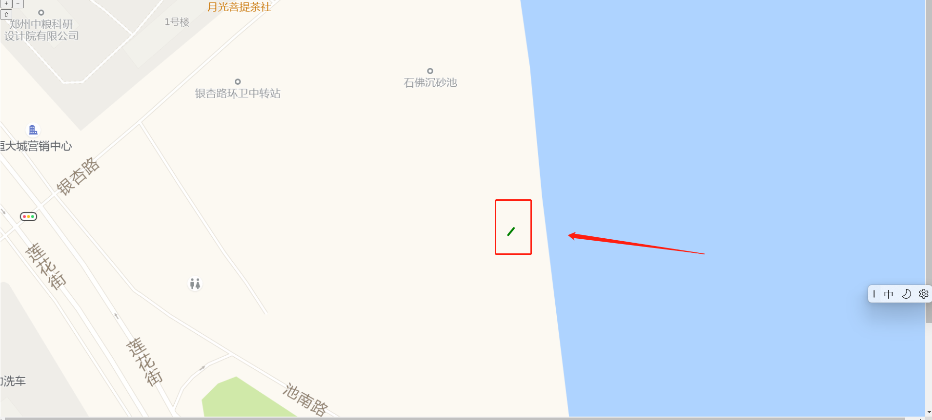
addLine() {
let lineData = [[113.56762000, 34.82407000], [113.56763000, 34.82408000], [113.56764000, 34.82409000], [113.56765000, 34.82410000]]
let newlineData = []
lineData.forEach(el => {
                newlineData.push(fromLonLat(el))
            })
 let lineFeature = new Feature({
                geometry: new LineString(newlineData)
            })
 let color = 'green';
            let lineStyle = new Style({
                stroke: new Stroke({
                    color: color,
                    width: 4,
                }),
            });
            // 添加线的样式
            lineFeature.setStyle(lineStyle);
 let lineSource = new VectorSource({
                features: [lineFeature]
            })
 let lineLayer = new VectorLayer({
                source: lineSource
            })
this.map.addLayer(lineLayer);
},
setPoint() {
const iconFeature = new Feature({
geometry: new Point(fromLonLat([113.56762000, 34.82407000])),
});
const iconStyle = new Style({
image: new Icon({
anchor: [0.5, 46],
anchorXUnits: "fraction",
anchorYUnits: "pixels",
src: require("@/assets/marker-icon.png"),
}),
});
iconFeature.setStyle(iconStyle);
let pointLayer = new VectorLayer({
source: new VectorSource({
features: [iconFeature],
}),
});
this.map.addLayer(pointLayer);
},
addMark() {
let feature = new Feature({
geometry: new Point(fromLonLat([113.56762000, 34.82407000]))
})
let mark = new VectorLayer({
source: new VectorSource({
features: [feature]
}),
})
this.map.addLayer(mark)
}
}
}
</script>
<!-- Add "scoped" attribute to limit CSS to this component only -->
<style scoped>
#map {
width: 1920px;
height: 1080px;
}
</style>
|
 次阅读
次阅读